| Most viewed - The River |

158 views
|
|

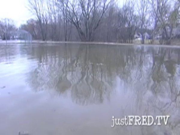
The River Runs High (Flash video)157 viewsA collage from the south bank of the Saint John River in Fredericton slightly above flood level.
|
|

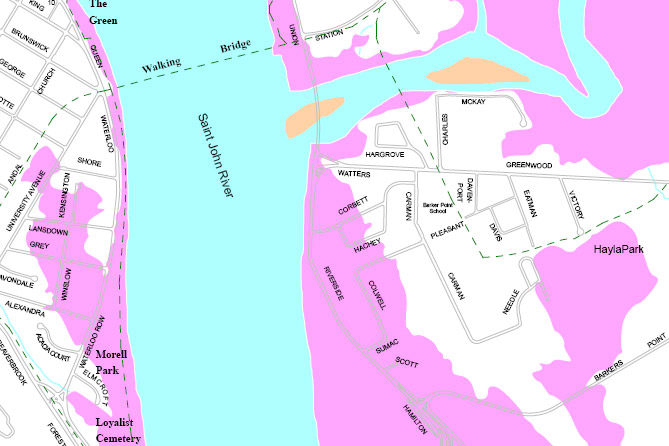
Flood Map of Fredericton (PDF)152 viewsClick on the thumbnail to see an image of the areas near the walking bridge. Click on the image to see a full-sized PDF of the entire Saint John River section in Fredericton. The areas marked in pink will be underwater if and when the river reaches the 8 meter flood stage.
Map courtesy City of Fredericton.
Note: This image is NOT for sale.
|
|

142 views
|
|

137 views
|
|

136 views
|
|

132 views
|
|

130 views
|
|

128 views
|
|

127 views
|
|

123 views
|
|

122 views
|
|
|
|

